How to Detect the Water Table Before You Drill: A Water Engineer’s Guide
Thinking about drilling a borehole? Hold that rig for a second—there’s something you really need to check first: the water table. If you start drilling without knowing where your underground water lies, you could waste thousands chasing a dry hole. That’s why water table detection is the single most important first step in successful borehole drilling. In this guide, I’ll walk you through how to do it right—without the guesswork.
What Is the Water Table?
Before we dive into the tools and techniques, let’s get clear on what the water table actually is.
A Quick Science Refresher
The water table is the upper level of an underground surface where the soil or rocks are permanently saturated with water. It basically marks the boundary between the dry ground above and the groundwater below. Once you drill below this level, you’ll start hitting water.
But here’s the catch: the water table isn’t a flat line. It fluctuates based on things like:
Rainfall
Seasonal changes
Soil type
Nearby pumping or water use
Understanding these variables is essential to avoid drilling when the table is too low (or missing it altogether).
Why Water Table Detection Matters
You might be thinking: “Why not just drill and see what happens?”
Here’s why that’s a risky move:
Dry Boreholes: Drill in the wrong spot or season, and you might hit nothing.
Shallow Water: Low yields from near-surface water can dry up fast.
Overdrilling: Go too deep and you waste time, money, and resources.
Regulatory Issues: Drilling without knowing water zones can lead to legal trouble.
Basically, knowing your water table means smarter planning and better water access.
Traditional Signs of Underground Water
Before we get techy, let’s talk about the old-school methods. While not always precise, traditional indicators can still be useful, especially in rural or low-budget settings.
Natural Clues
Vegetation: Lush green plants or tall trees in dry areas may suggest water below.
Insects & Animals: Termites and ants tend to nest near moisture.
Soil Dampness: Consistently damp soil may indicate a shallow water table.
These clues are helpful, but not enough to rely on solely. That’s where science steps in.
Scientific Methods of Water Table Detection
If you’re serious about finding water, you’ll want to bring in the tech. Here are the most reliable, engineer-approved methods for detecting the water table.
1. Electrical Resistivity Survey
This is the most common method used by hydrogeologists. It works by sending electrical currents into the ground and measuring resistance. Water-saturated areas have lower resistance.
Why it works:
Maps underground water zones
Identifies depth and volume
Non-invasive and affordable
2. Vertical Electrical Sounding (VES)
VES is a type of resistivity survey that focuses on vertical layering. It tells you how deep the water table is and what kind of materials you’ll be drilling through.
3. Seismic Refraction
This method uses sound waves to map underground structures. It’s more expensive but great for rocky terrains.
4. Magnetotellurics
A more advanced geophysical technique that uses natural electromagnetic fields to detect underground water. Useful in deep drilling projects.
5. Remote Sensing and Satellite Imagery
Modern satellite tech can provide macro-level insights into groundwater potential by analyzing vegetation health, soil moisture, and terrain.
6. Borehole Logs and Historical Data
If you’re in an area where boreholes have been drilled before, you can use existing data to get an idea of the local water table.
DIY Detection: Is It Possible?
You might’ve heard about people using “divining rods” or metal sticks to find water. While it’s a popular rural method, there’s no scientific proof that it works.
That said, you can do some basic soil tests or dig a shallow test pit, but anything deeper than 10 meters requires machinery and safety protocols.
When and Where to Detect the Water Table
Timing Matters
The best time to detect the water table is during the dry season. Why? Because that’s when the water level is at its lowest. If you can detect water then, you’ll have a better chance of year-round availability.
Picking the Right Spot
Avoid septic tanks and pollution sources
Check local topography—lower areas may collect more groundwater
Use vegetation as a guide but confirm with tech
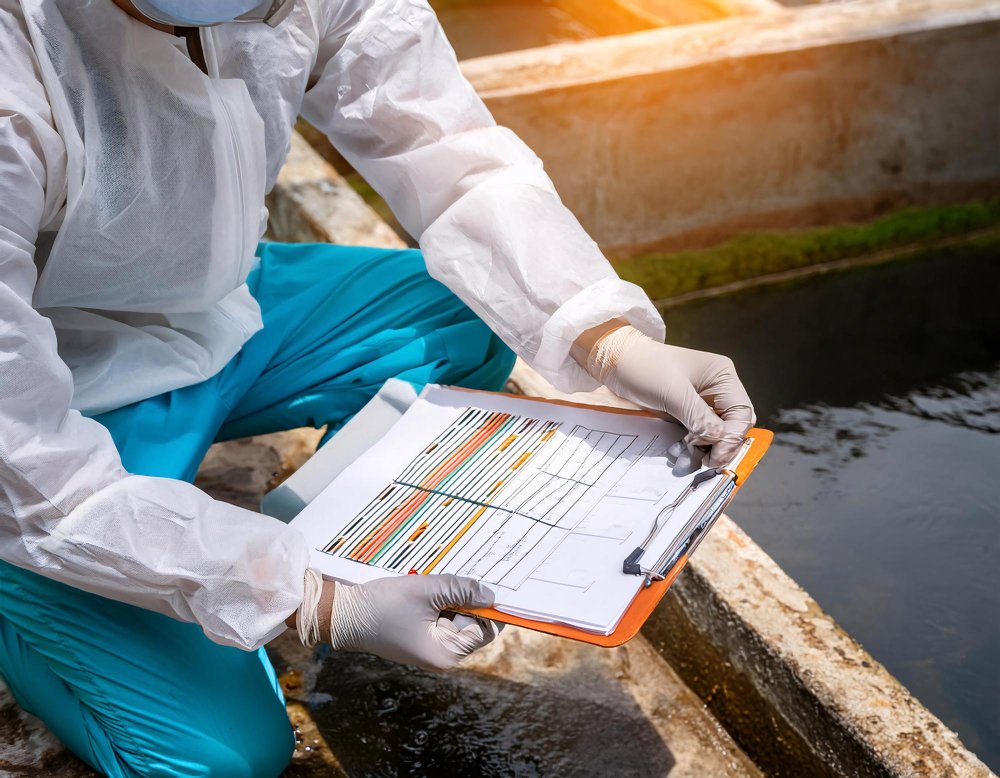
How to Read Survey Results
Survey data can be confusing, but here’s a quick guide to what you’ll see:
Resistivity Curves: Lower values often indicate water
Layer Depths: These show how deep you need to drill
Material Composition: Clay holds water differently than sand or gravel
Work with a qualified hydrogeologist or water engineer to interpret results accurately.
Mistakes to Avoid
Even seasoned borehole drillers make mistakes. Here’s what not to do:
Trusting guesswork or folklore alone
Drilling during rainy season (water table might be artificially high)
Ignoring professional surveys to save money (costs more later)
Choosing sites near pollutants (risking contamination)
Cost of Water Table Detection
What You Can Expect to Pay
Basic resistivity survey: $200–$500
Full geophysical package: $500–$2,000
Advanced methods (seismic, MT): $2,000+
While it might sound pricey, compare that to a failed borehole ($2,000–$5,000 down the drain), and it’s a smart investment.
Are There Funding Options?
Some regions offer grants, subsidies, or cost-sharing programs through water authorities or agricultural departments. Always check your local options!
Hiring a Water Survey Specialist
Not all surveyors are created equal. Here’s what to look for:
Qualifications
Geophysics or geology degree
Experience with similar terrain
Certification or government license (if applicable)
Questions to Ask
What survey methods will you use?
Do you provide a written report?
Can I see past case studies or reviews?
Avoid anyone who makes vague promises or uses only a single method.
What to Do After You Detect the Water Table
So, you’ve found water—now what?
Plan Your Borehole
Choose your drill depth based on results
Select the right casing and pump type
Ensure you meet local drilling regulations
Consult Professionals
Share your results with a borehole engineer to finalize your drilling plan. A collaborative approach leads to the best outcomes.
Real-Life Case Study
Location: Rural Kenya
Situation: A village drilled three failed boreholes over 5 years, wasting over $15,000.
Solution: After bringing in a geophysicist and using a resistivity survey, they drilled a successful borehole 80 meters deep with year-round water access.
Lesson: Professional water detection isn’t a luxury—it’s a necessity.
Final Thoughts
Detecting the water table isn’t just a technical step—it’s the foundation of a successful borehole. By taking the time (and money) to locate your underground water properly, you save yourself from costly mistakes, dry wells, and legal issues.
So if you’re planning to drill a borehole, start smart: Find the water first. Your future self will thank you.
Leave A Comment